Services
Our services
Ten services, available individually or combined.
Air and remote sensing
S-01
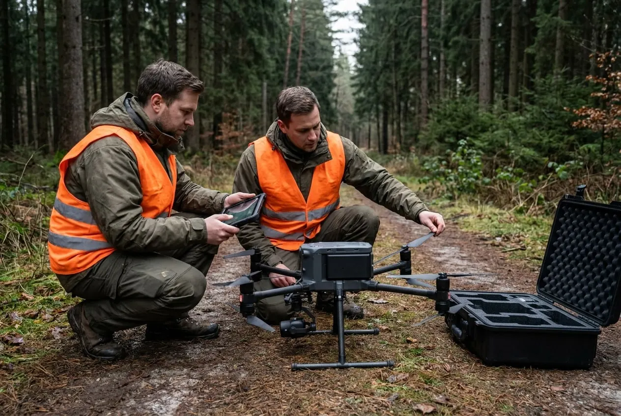
Drone footage and aerial imagery
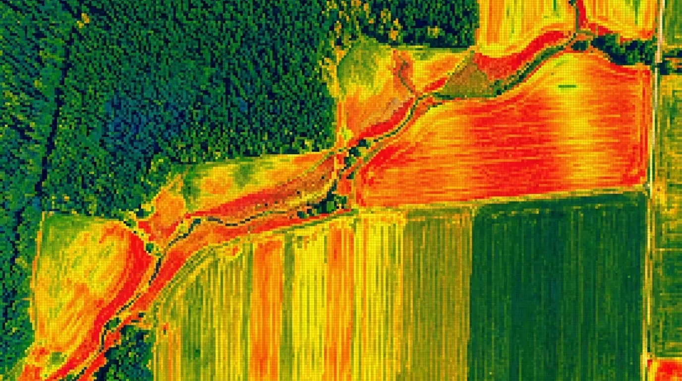
Aerial and thermal surveys of forest and farmland, multispectral and LiDAR through partners.
S-02
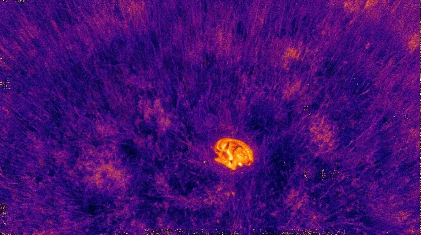
Thermal imaging and thermal surveys
Fawn rescue, carcass searches, game counts and drought stress by thermal drone.
S-04
Forest health and vitality monitoring
Tree vitality, growth and forest condition down to the single tree, as a time series.
S-09
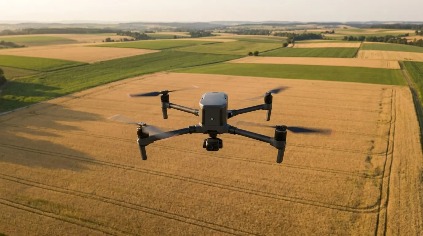
Agricultural analytics
Biomass and nitrogen maps, drought stress and damage documentation.
Field and ground
S-03
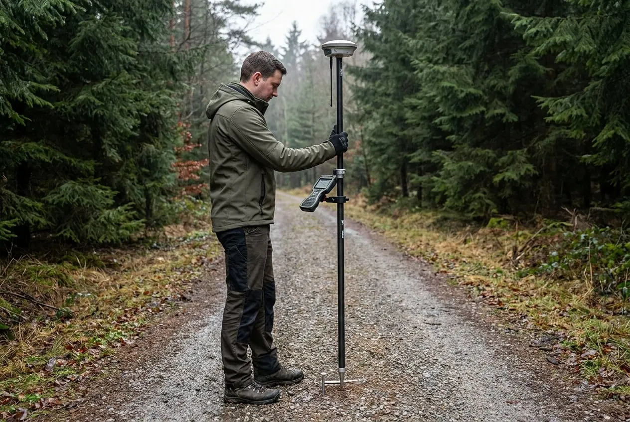
Surveying and mapping
GNSS/RTK surveying, control points, forest roads, plot areas and elevation models.
S-05
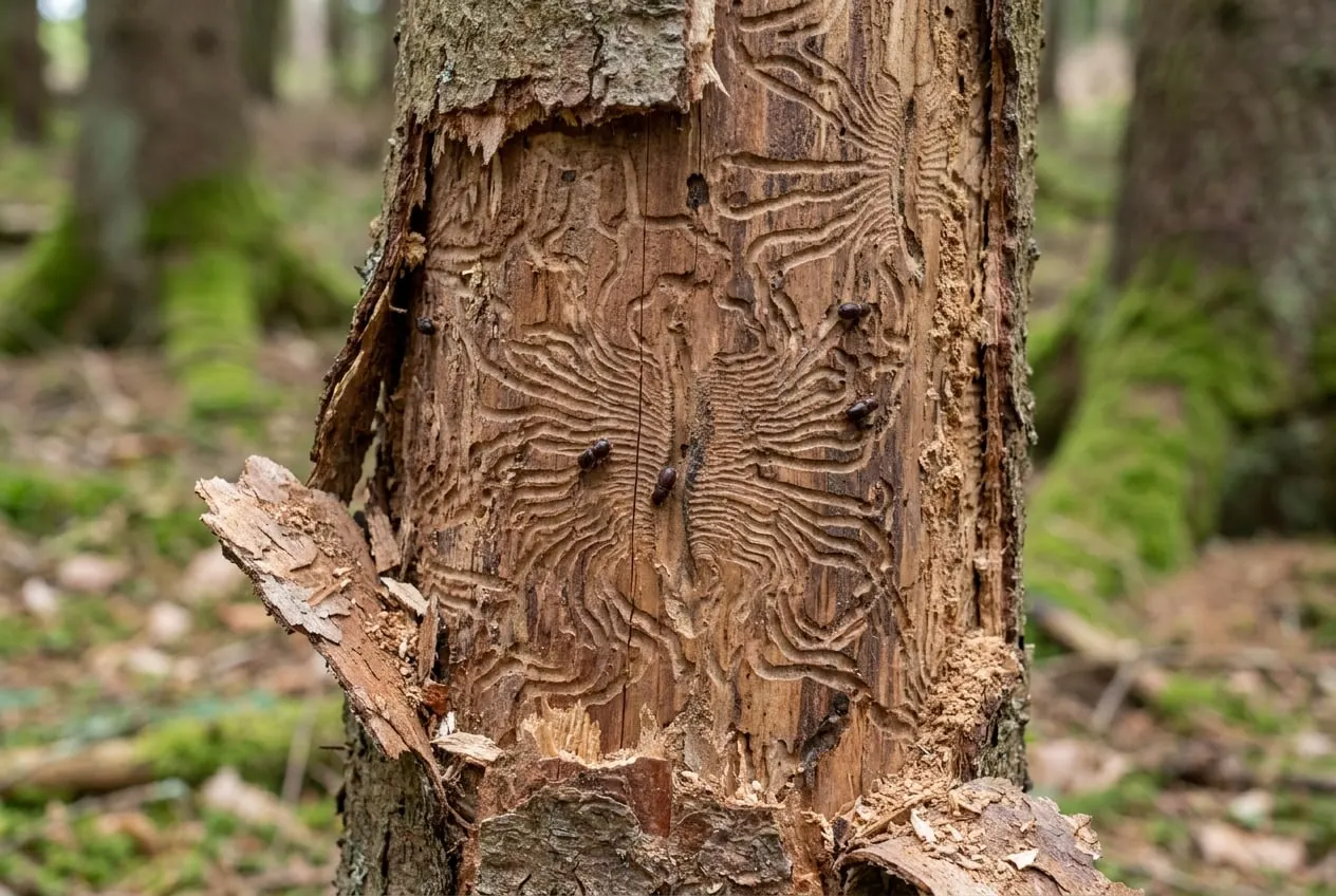
Bark beetle monitoring and forest protection
Early detection of standing infestation: imagery, boring-dust dogs, find record.
S-06
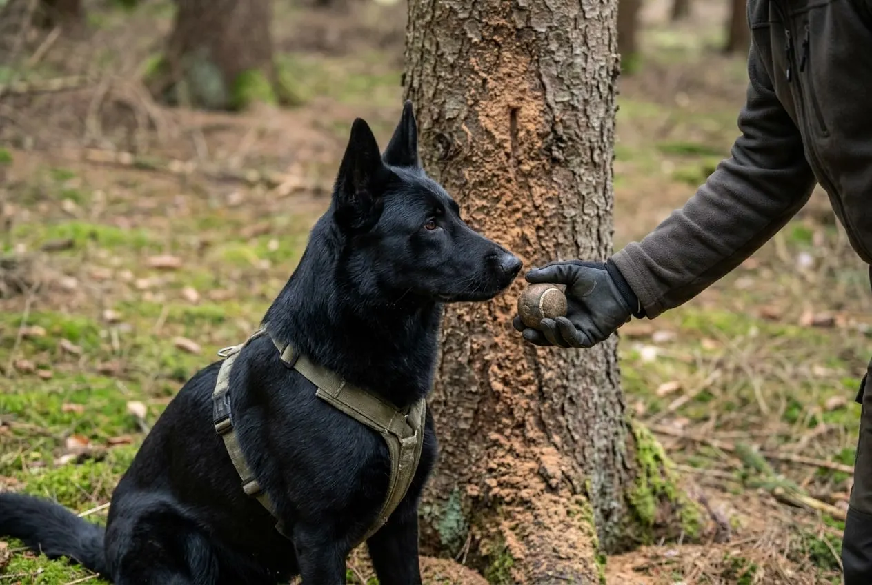
Detection dogs
Two operational dogs and a young dog for bark beetle, carcasses, quarantine pests and scat.
S-07
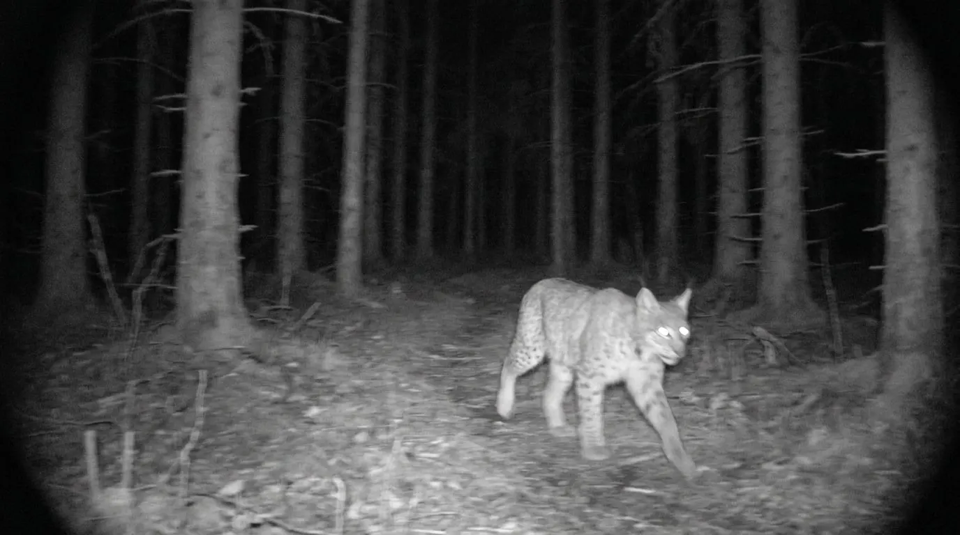
Camera traps and population surveys
Camera traps, game populations, browsing surveys with exclosures, lynx, wolf, wildcat.
Your question doesn’t fit a category?
Send an enquiry →