e.g. 20 to 100 km of forest roads
Municipal forest enterprise, Rhön and eastern Hesse
Mapping of the road network including condition and width by GNSS and aerial imagery. The data serve as a basis for planning road maintenance.
S-03 · Field and ground
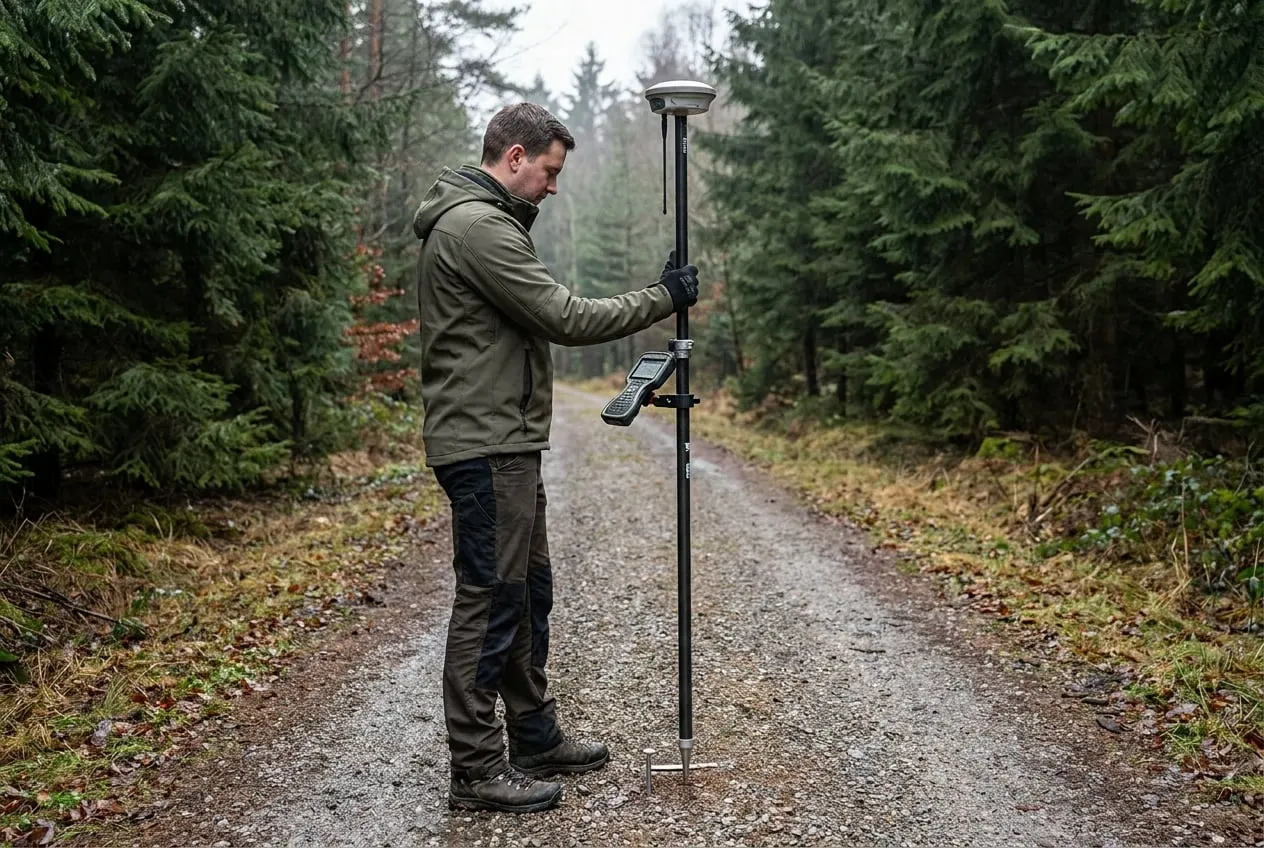
We survey plots, roads and ground control points with GNSS/RTK and derive terrain and surface models from aerial imagery or from LiDAR data supplied by partners. Results are provided in the official ETRS89/UTM reference system.
How we carry out this service.
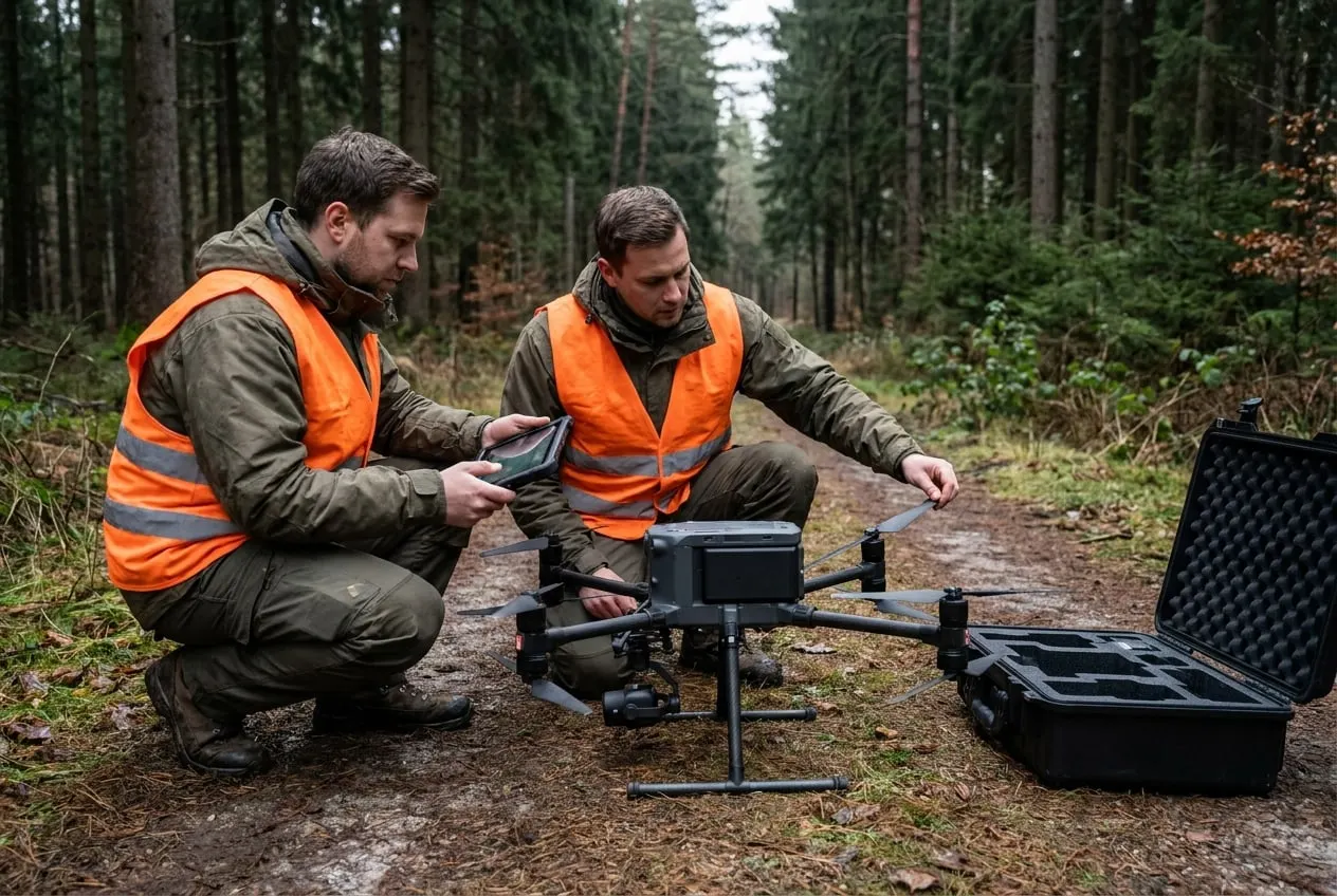
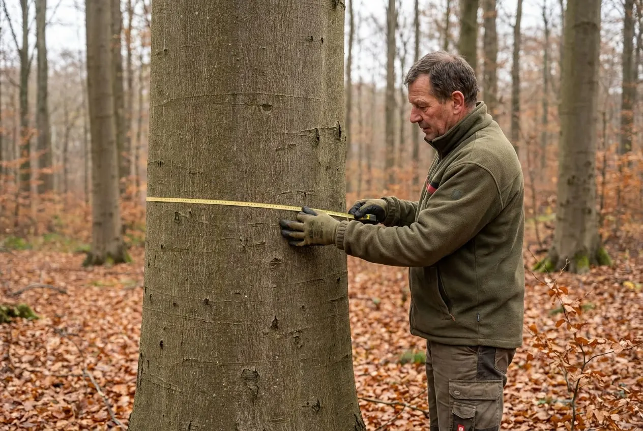
01In the field, we measure with GNSS receivers in RTK mode, using a correction service linked to the official reference network. Every point is measured at least twice, independently and at different times. Under a dense canopy, where satellite geometry deteriorates, we extend the observation time or move the point to a more open spot.
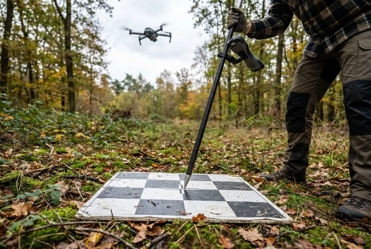
02We mark ground control points for survey flights with high-contrast targets that can be clearly identified from the air. We distribute them across the whole area and along its edges, and hold back some of them as independent check points. The residuals at these check points are reported separately for position and height.
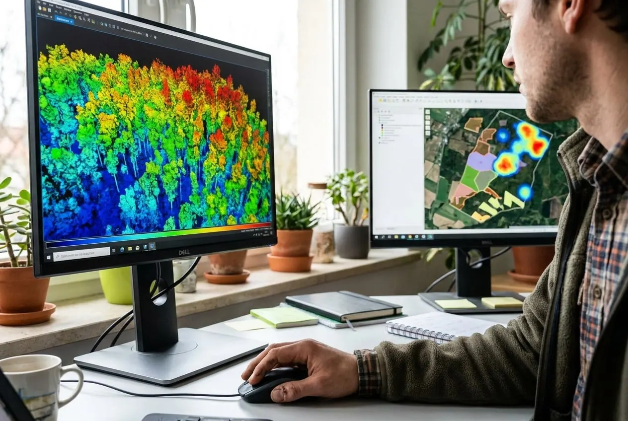
03Terrain and surface models are derived from aerial imagery or from LiDAR point clouds supplied by partners. Heights refer to DHHN2016 and positions to ETRS89/UTM. Our field technicians carry out the field measurements, and the GIS team carries out the processing. For boundary questions, we refer you to publicly appointed surveyors or the official surveying authority.
Operating in Germany and the EU
e.g. 20 to 100 km of forest roads
Municipal forest enterprise, Rhön and eastern Hesse
Mapping of the road network including condition and width by GNSS and aerial imagery. The data serve as a basis for planning road maintenance.
e.g. 200 to 1,500 ha
Water and soil association, Germany
Terrain model for runoff modelling based on LiDAR data from partners and our own GNSS check measurements. Erosion gullies are located and surveyed in the field.
The examples show typical procedures for this service.
In open terrain 1 to 3 cm in position. Under a dense canopy reception deteriorates; there we measure for longer or move to more open spots.
No. Boundary determinations may only be carried out by surveyors with official authority. Our data are intended for planning, documentation and analysis.
A DTM represents the ground surface without vegetation or buildings. In forests it is calculated from the ground points of a LiDAR point cloud, which we obtain through partners on request.
Tell us the area, location and time frame. You will receive an assessment within two working days.