e.g. 500 to 3,000 ha
Forest owners’ association, Rhön and eastern Hesse
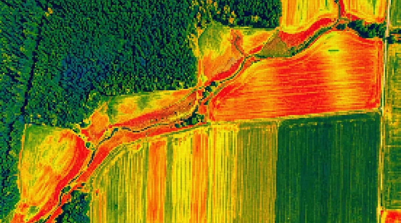
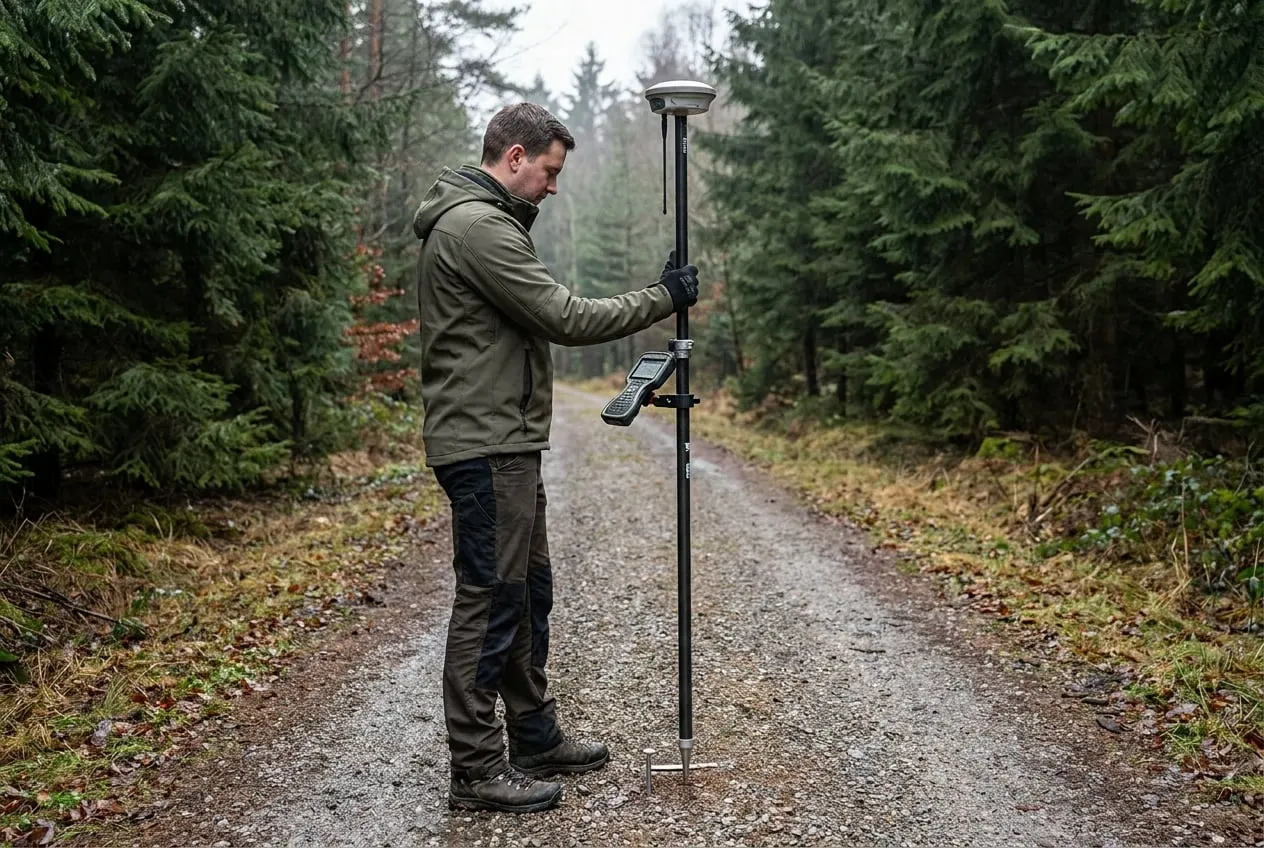
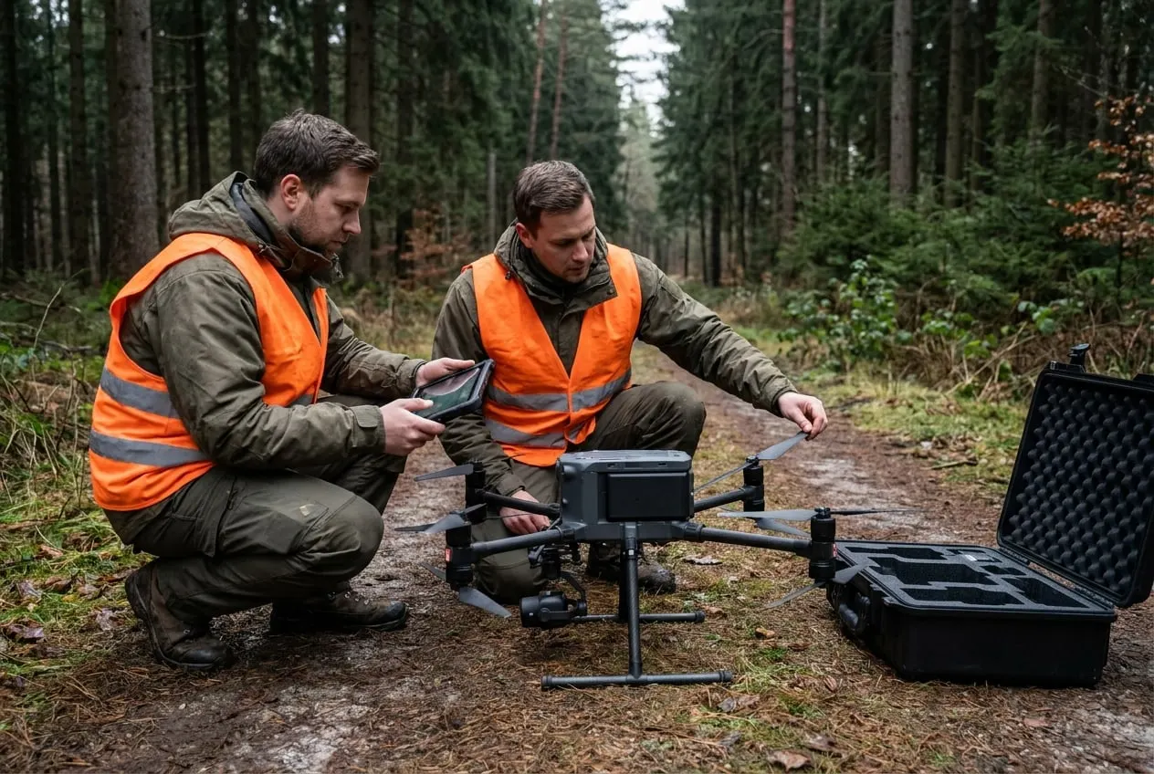
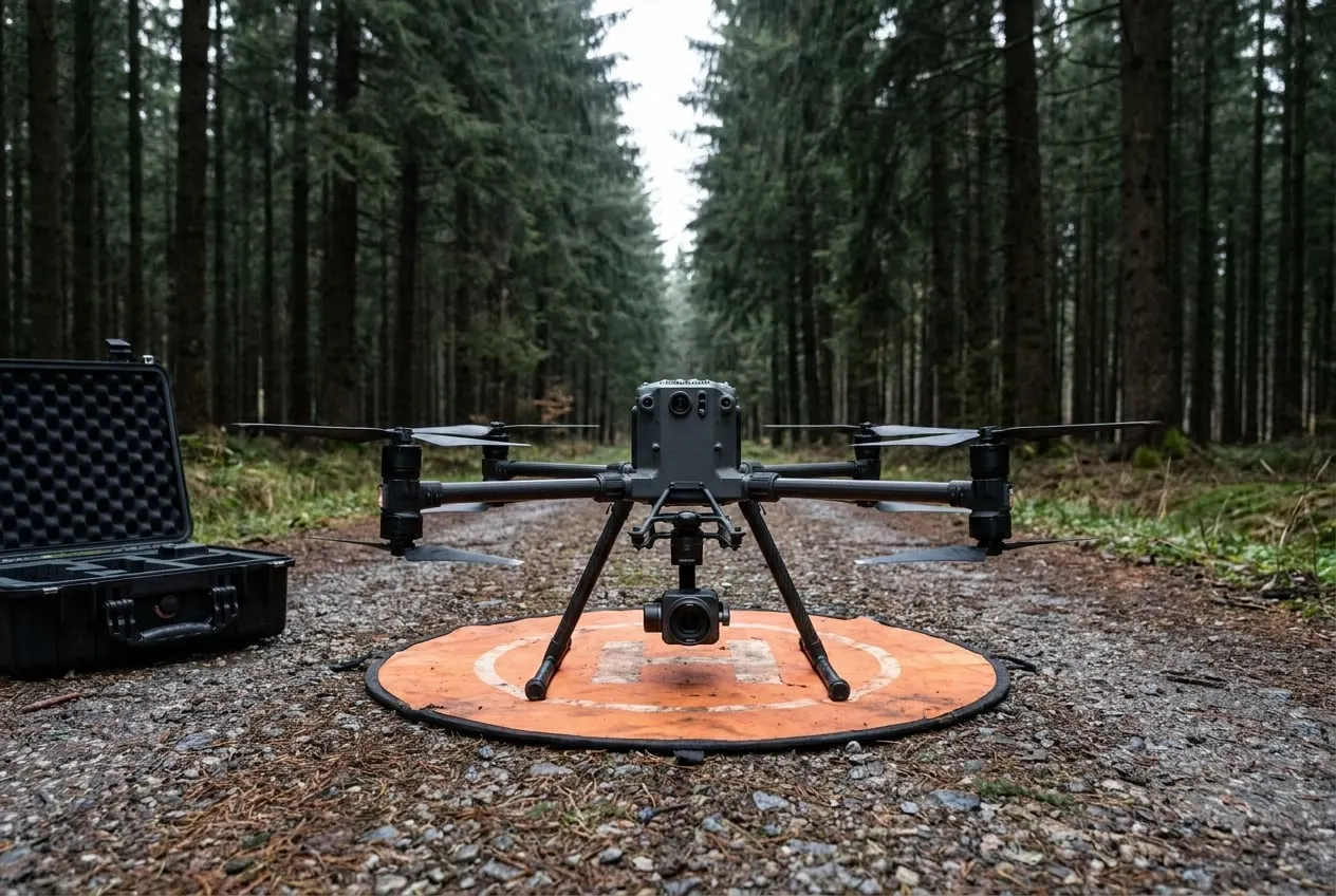
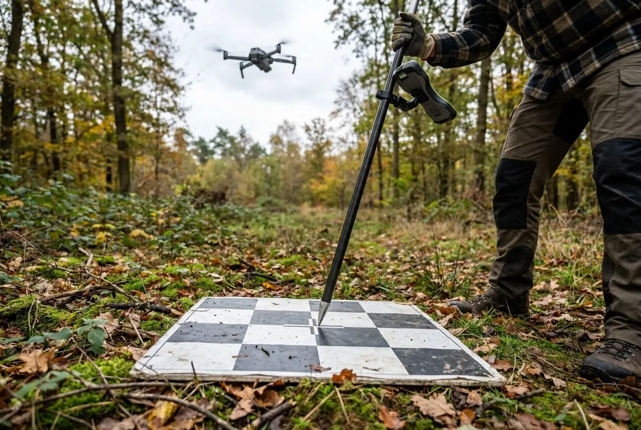
Survey of the members’ land with the Mavic 3 as a basis for overview maps and damage mapping. Control points are surveyed by GNSS, and orthomosaics are delivered in the ETRS89/UTM reference system.