e.g. 20 to 60 monitoring plots
Municipal forest enterprise, Rhön and eastern Hesse
Annual survey in the same window and crown assessment in the field. Changes compared with the previous year are reported for each plot and explained in the report.
S-04 · Air and remote sensing
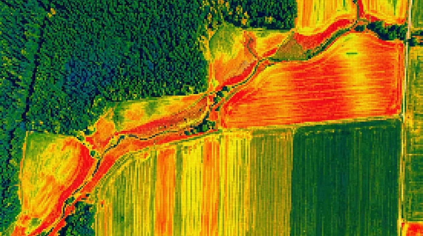
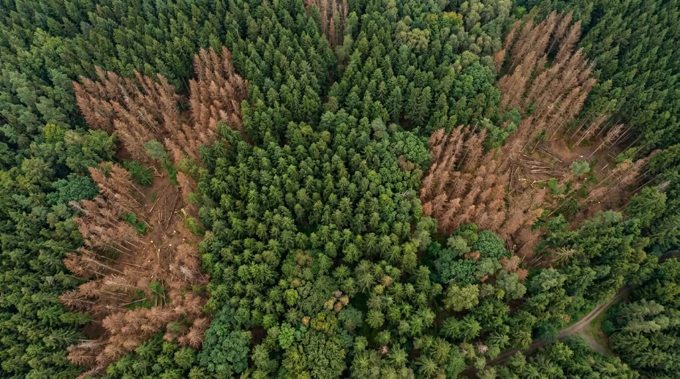
We record the vitality and structure of forest stands in fixed time windows over several years. This makes changes in individual trees and whole stands comparable.
How we carry out this service.
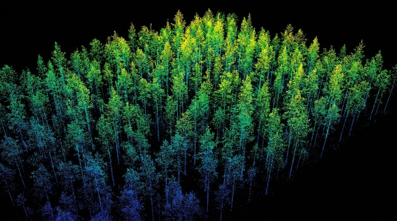
01The basis is a fixed survey schedule: each area is flown every year in the same window between July and mid-August, at a comparable sun angle and in light that is as even as possible. Multispectral and LiDAR data, which we obtain through partners, are captured on separate flights so that each sensor operates at its optimum altitude.
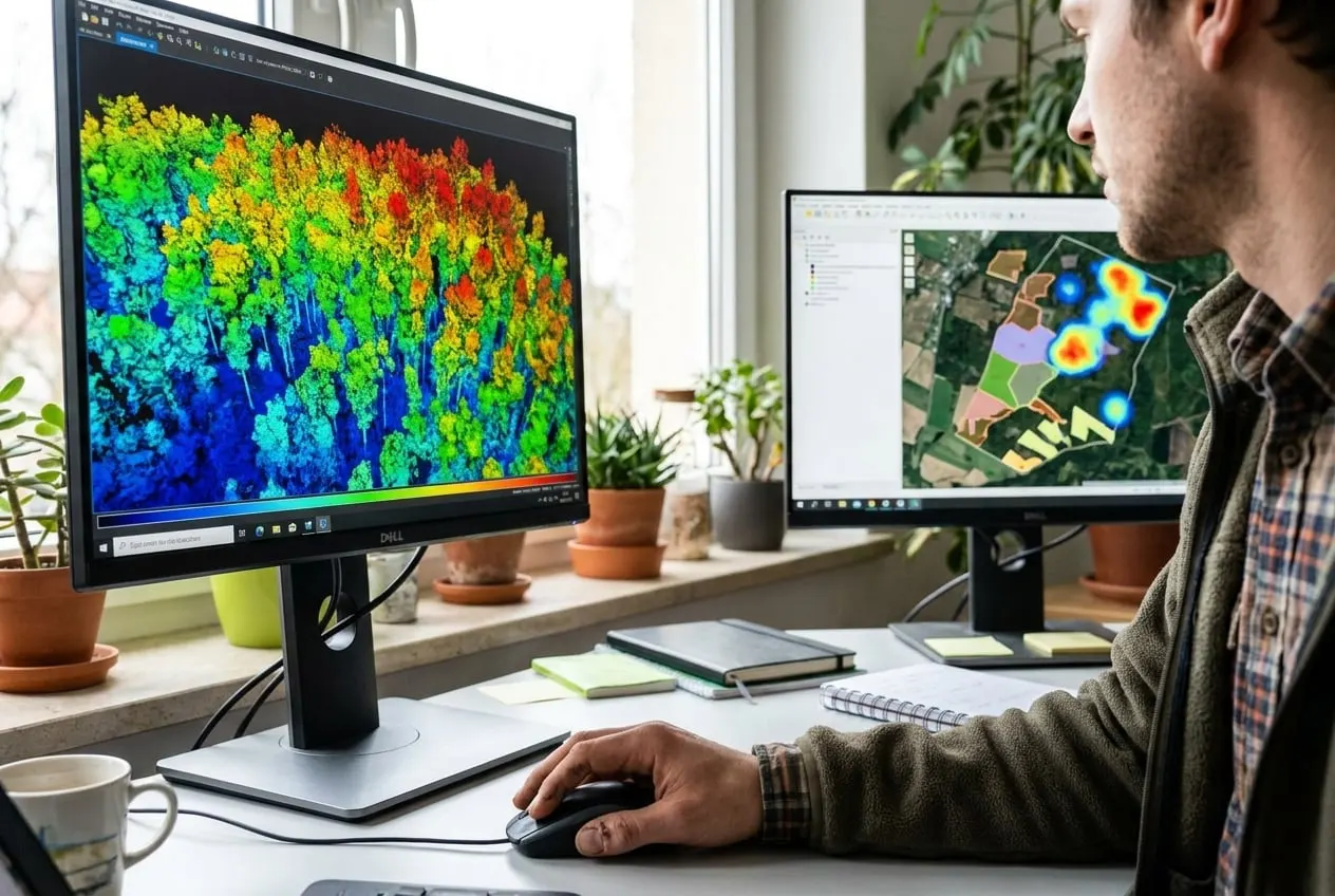
02From the LiDAR point cloud we segment individual trees and calculate height, crown area and growth compared with the previous year. We assign the spectral values of its crown to each tree and derive a vitality class. The class boundaries are checked against terrestrial reference trees that the field team assesses every year.
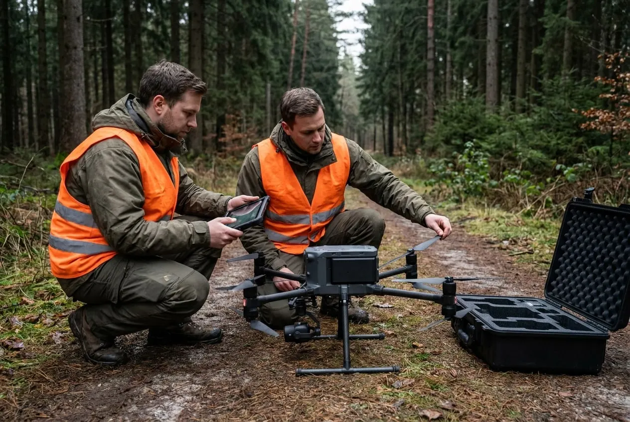
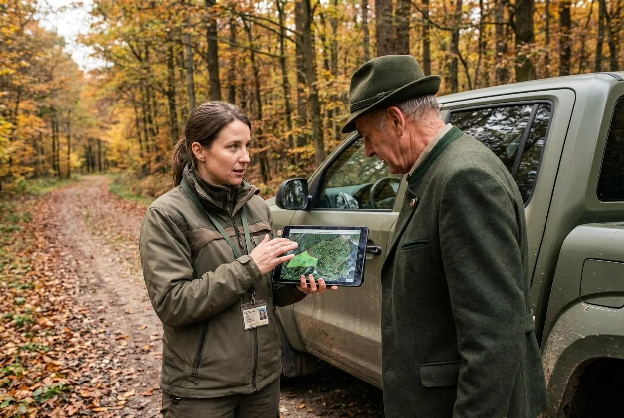
03Surveys and field visits take place with the consent of, or on behalf of, the forest owners and in coordination with district holders, hunting tenants and land managers. Access to the forest is based on the state forest laws and the Federal Nature Conservation Act. In doing so, we work closely with hunting tenants, hunters and farmers from the region.
Operating in Germany and the EU
e.g. 20 to 60 monitoring plots
Municipal forest enterprise, Rhön and eastern Hesse
Annual survey in the same window and crown assessment in the field. Changes compared with the previous year are reported for each plot and explained in the report.
e.g. 1,000 to 5,000 ha
Private forest enterprise, Germany and Europe
Assessment of crown condition in spruce, beech and fir as a basis for planning forest conversion. Multispectral and LiDAR data are added through partners where required.
The examples show typical procedures for this service.
Healthy leaves and needles reflect a lot of near-infrared and little red light. From this ratio we calculate indices such as NDVI and check them against reference trees in the field.
For broadleaves and conifers usually July to mid-August, in full leaf. Flying in the same window every year is important so that the values remain comparable.
In the upper canopy, yes, using LiDAR and high-resolution imagery. Understorey and regeneration are only partly captured; terrestrial sample plots supplement the data there.
Tell us the area, location and time frame. You will receive an assessment within two working days.