Skip to content
Verdavis – Forst · Agrar · Analytik
Menu
Agricultural analytics

S-09 · Air and remote sensing

Agricultural analytics

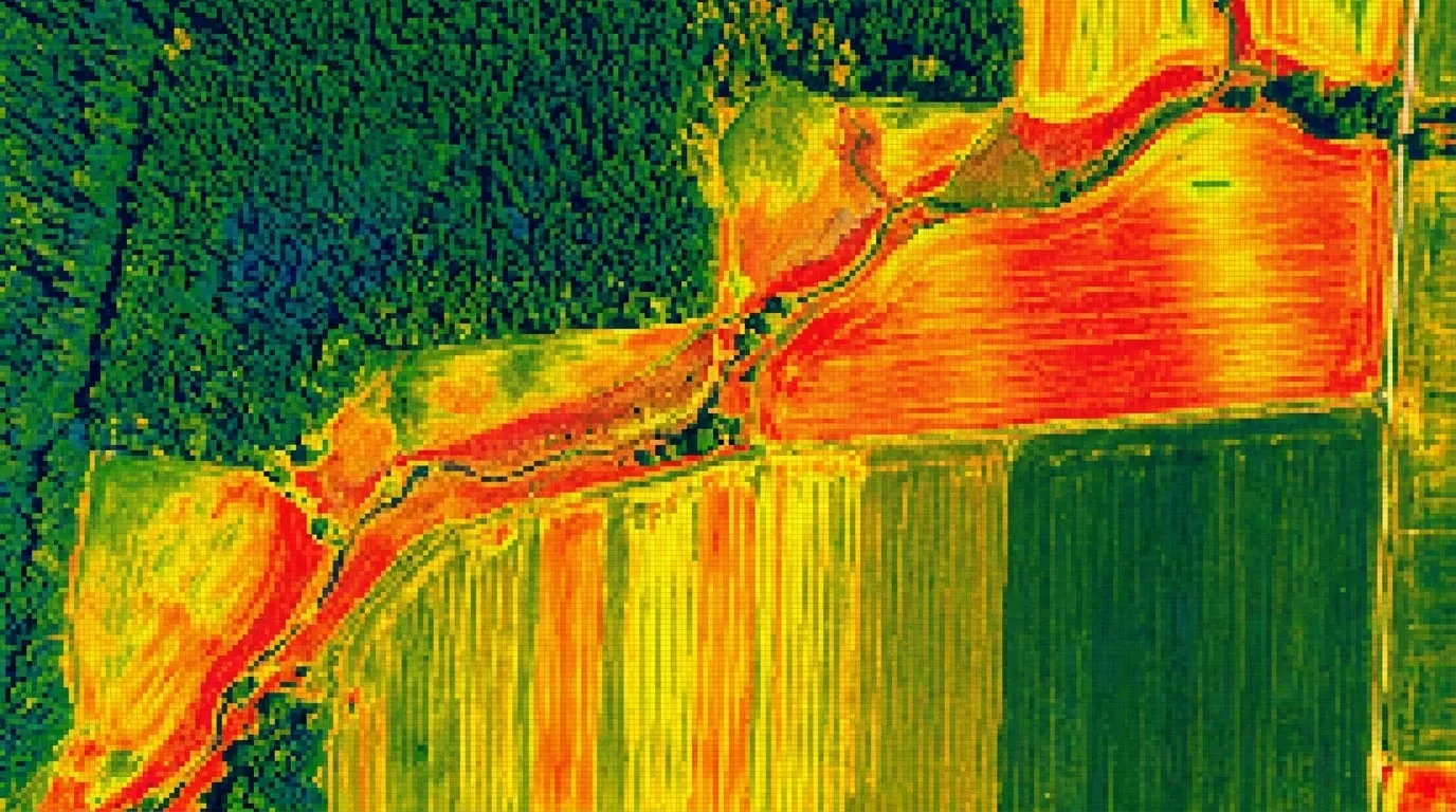
For farms and research stations, we produce maps of biomass, nitrogen supply and water stress. On request, we calibrate the aerial data against soil and plant samples.

Scope

  • Multispectral data on request via partners
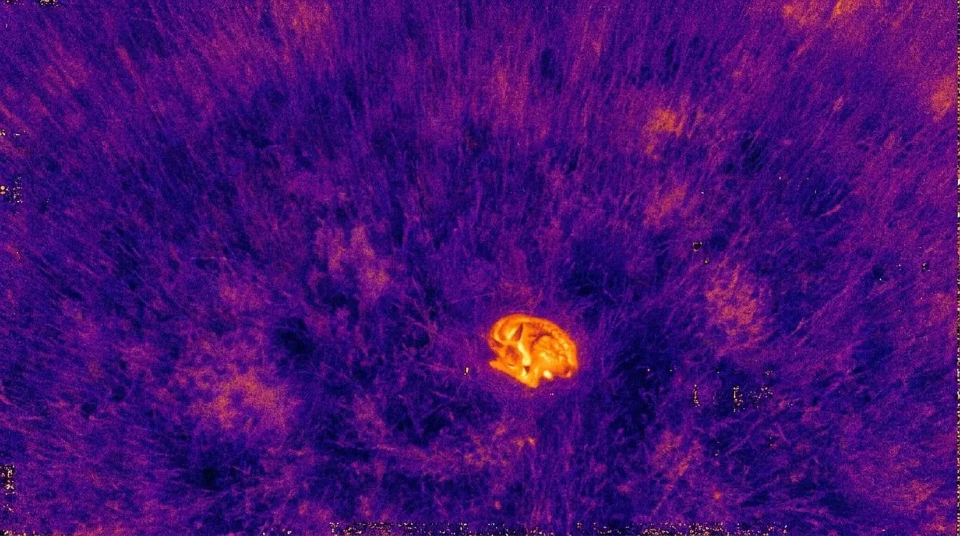
  • Thermal imagery for water stress
  • Calibration with plant and soil samples
  • Application maps for your terminal

Typical applications

  • Variable-rate nitrogen fertilisation
  • Irrigation planning after dry spells
  • Documenting hail or wildlife damage

Deliverables

  • Application maps as Shapefile or ISO-XML
  • Biomass maps as GeoTIFF and PDF
  • Damage report with affected area
Agricultural analytics 1
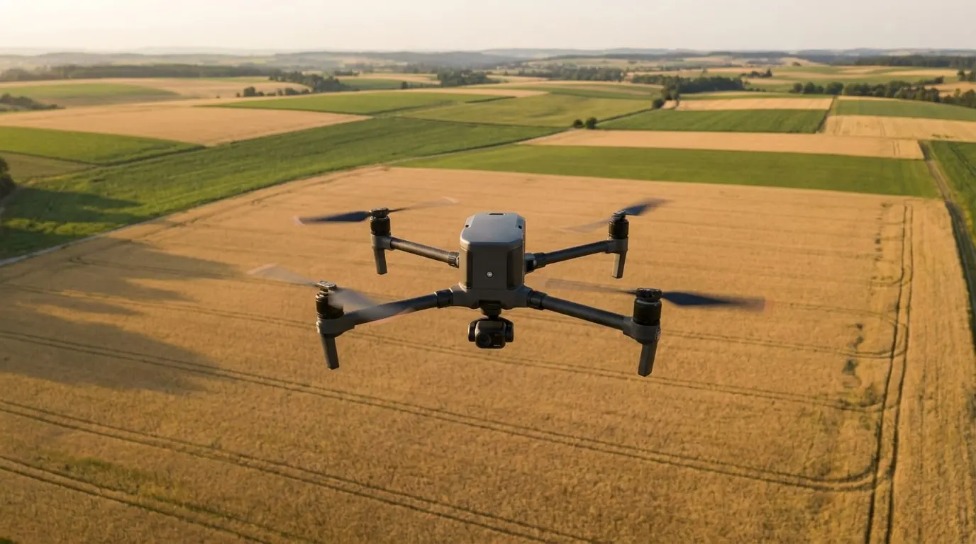
Agricultural analytics 2
Agricultural analytics 3

Methodology

How we carry out this service.

01We agree crops, growth stages and fertiliser dates with the farm. This determines the flight plan, usually two to three flights in cereals between tillering and ear emergence. Multispectral surveys are carried out through partners in light that is as even as possible and with calibration against a reflectance panel.

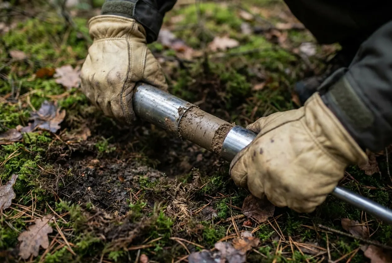
02From the spectral data we calculate vegetation indices and calibrate them against plant cuttings and soil samples at representative points. These samples are analysed for nitrogen and dry matter in accredited partner laboratories. Only this calibration allows reliable statements on the nitrogen uptake of the crop instead of purely relative values.

03We translate the results into application zones with target rates and export them as Shapefile or ISO-XML for your terminal. After damage from hail, wildlife or drought, we fly as soon as possible after the event and document capture time, georeferencing and processing so that insurers can verify the report.

Quality and accreditation

  • Multispectral data calibrated against a reflectance panel
  • Indices calibrated with plant and soil samples analysed by accredited partner laboratories
  • Remote pilots with EU certificates of competency
  • Capture time, georeferencing and processing documented

Legal basis and permits

  • §Fertiliser Ordinance (DüV), determination of fertiliser requirements before application
  • §Implementing Regulation (EU) 2019/947 on the operation of unmanned aircraft
  • §Consent of the manager of the surveyed land

Deutschland EU Operating in Germany and the EU

Example assignments

e.g. 200 to 2,000 ha

Agricultural cooperative, Germany

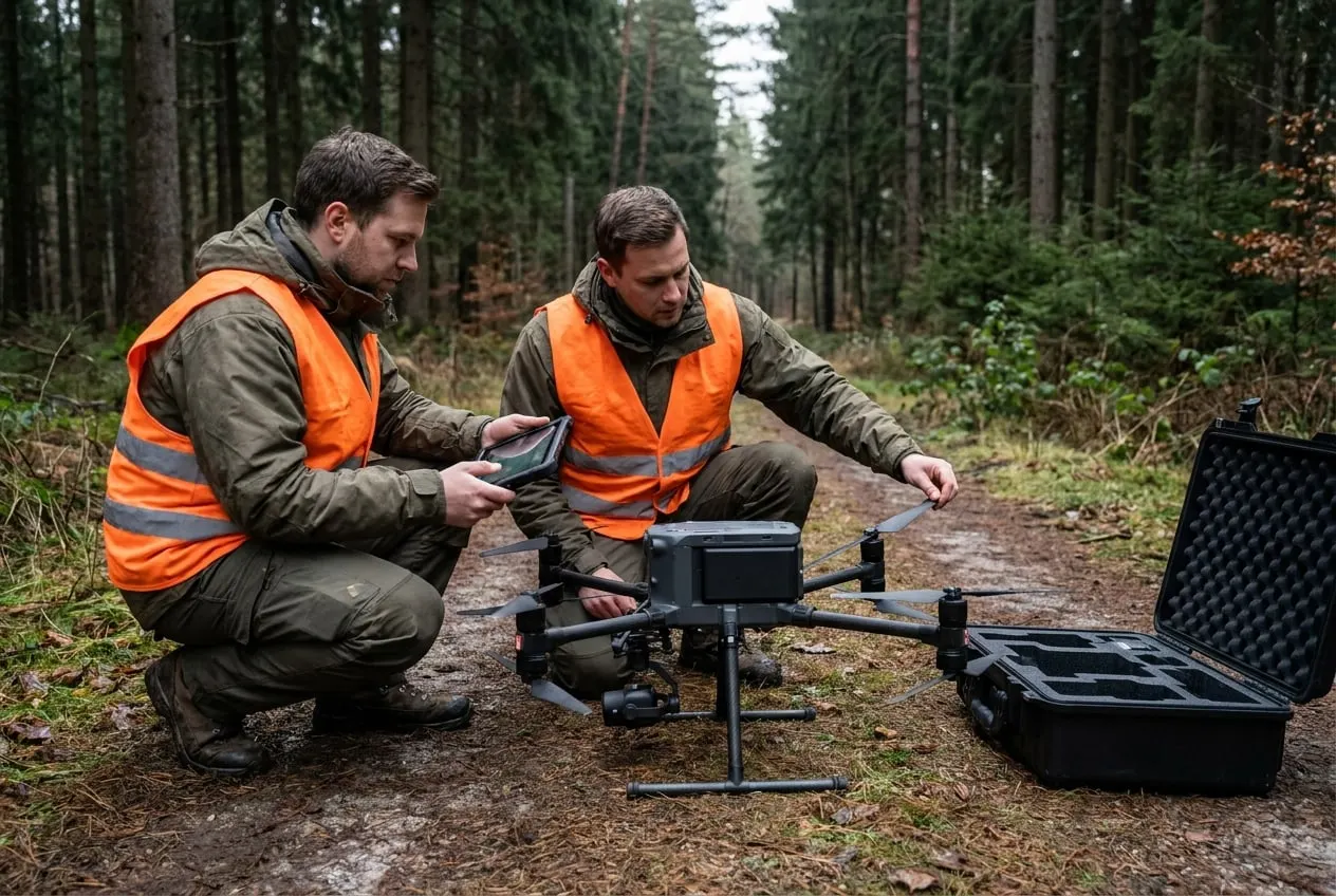
Survey flights before the fertiliser dates, calibrated with plant and soil samples. Multispectral data for nitrogen maps are collected through partners, and prescription maps are delivered as Shapefile or ISO-XML.
e.g. 50 to 500 ha

Farm, Rhön and eastern Hesse

Documentation of hail damage shortly after the storm, with capture time and georeferencing. The report can serve the insurer as a basis for settling the claim.

The examples show typical procedures for this service.

Frequently asked questions

What are the benefits of drones in agriculture?

It shows differences within the crop that cannot be seen from the field edge. Fertiliser and water can then be applied as needed, and damage can be documented with area and date.

Do insurers accept drone imagery?

As evidence, yes, provided that capture time, georeferencing and processing are documented. The insurer decides on the claim itself, often with its own loss adjuster.

How often should a field be surveyed?

For nitrogen fertilisation in cereals, usually two to three flights before the application dates. For damage documentation, one flight shortly after the event is enough.

Enquire about this service

Tell us the area, location and time frame. You will receive an assessment within two working days.

Request a job →